Guyana, South America
Active · 2026LiDAR Acquisition Project
Aircraft-mounted LiDAR and mapping cameras covering 16,281 km² — nearly all of Guyana’s urban footprint plus high-value rural land — to build the national map.
- Urbanized area — nearly all of Guyana’s urban footprint
- 545 km²
- Rural area surveyed
- 15,736 km²
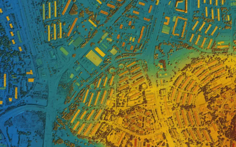
Aircraft equipped with LiDAR sensors and mapping cameras capture the source data for detailed elevation models and orthophoto mapping.
MLG processes the survey data into digital terrain models and map imagery, then extracts infrastructure, water features, and 3D building models.
Together, the terrain, imagery, and extracted features form key layers in the national map. The project covers 545 km² of urbanized area, nearly all of Guyana’s urban footprint, and a further 15,736 km² of rural area.
In 2026, MLG was selected through a further RFP process to deliver LiDAR survey coverage across Region No. 1.