Better land decisions begin with current ground truth
Land authorities cannot manage what they cannot locate with confidence. Outdated base maps and inconsistent parcel layers weaken registration, valuation, infrastructure design, drainage analysis, emergency planning, and environmental management. The problem is not simply a missing picture; it is the absence of dependable spatial evidence for decisions that affect land and people.
MLG creates a current geospatial foundation from direct observation. Imagery, elevation, terrain, buildings, water, infrastructure, and parcel context become working information that government teams can inspect, compare, and use across land-dependent services.
Capture methods fit the terrain and the question
The right survey begins with the decisions the data must support. Coverage, resolution, accuracy, coordinate framework, terrain, and required feature classes determine whether the work uses aircraft-mounted LiDAR and mapping cameras, high-resolution aerial photography, drones, or a combination of sources.
Dense urban fabric, rural corridors, steep terrain, flood plains, and individual settlement areas present different capture challenges. MLG plans the acquisition around the jurisdiction’s conditions so the resulting data is suitable for its intended use, not merely visually impressive.
Survey data becomes working geospatial infrastructure
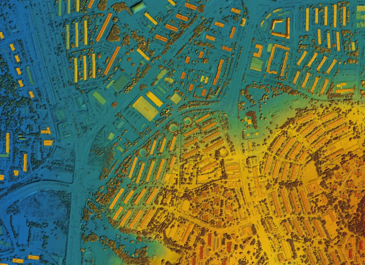
Raw imagery and LiDAR returns become valuable when they are processed into consistent, usable products. MLG produces georeferenced imagery, orthophoto maps, digital terrain and elevation models, and the feature layers required by the engagement. Buildings, roads, water features, land cover, infrastructure, and three-dimensional building forms can be extracted where they serve the defined purpose.
Cadastral context connects those observations to the land-administration environment. Parcel boundaries, building footprints, survey information, and supporting diagrams give GIS and registry teams a shared spatial reference for their work.
Quality travels with every layer
Useful geospatial data carries a clear standard. MLG aligns capture and processing with the required coordinate system, accuracy, coverage, and acceptance criteria, then applies quality controls before layers move into operational use. That discipline helps different agencies work from information that aligns rather than from maps that only appear similar.
Land-information, titling, valuation, infrastructure, planning, and environmental teams receive layers prepared for integration into their working environment, with the spatial relationships needed to support analysis and public decisions.
Guyana turns LiDAR into a national mapping foundation
In Guyana, aircraft equipped with LiDAR sensors and mapping cameras collect the source data for detailed elevation models and orthophoto mapping. MLG processes the survey into digital terrain models and map imagery, then extracts infrastructure, water features, and three-dimensional building models for key layers in the national map.
The work covers 16,281 km² of aerial-survey area: 545 km² of urbanized land, representing nearly all of Guyana’s urban footprint, and 15,736 km² of rural land. That figure describes survey coverage, not a claim that every hectare is a legally adjudicated cadastral parcel.
St. Kitts connects imagery with cadastral use
In St. Kitts, MLG captured high-resolution aerial imagery and delivered cadastral records showing the location and extent of property through imagery, mapped boundaries, and supporting diagrams. The work gives the government spatial information prepared for use with its land-administration system.
Aerial imagery becomes a detailed base map, while cadastral information gives land officials a practical reference for identifying and managing property.
The map supports authority—it does not replace it
Imagery can reveal a wall, road, roof, fence, shoreline, or pattern of land use. A cadastral layer can organize parcel geometry and show how mapped features relate. Neither one, by itself, establishes legal ownership or resolves a boundary dispute.
Survey and cadastral authorities approve authoritative geometry, while registry and other designated institutions determine legal rights. MLG supplies the current observations, processed data, quality controls, and integrations that make those responsibilities easier to carry out with confidence.