St. Kitts and Nevis
Active · 2021Cadastral Mapping
Aerial imagery and a comprehensive cadastral system for St. Kitts, prepared for use in the government’s land administration system.
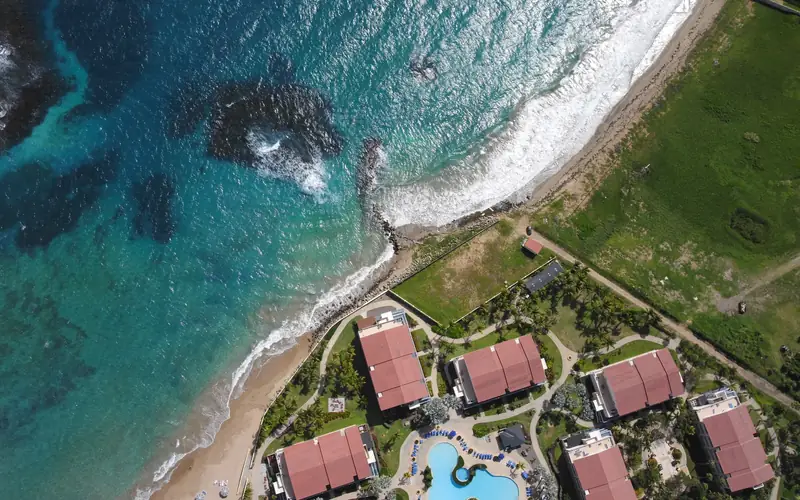
MLG captured aerial imagery of St. Kitts and delivered a comprehensive cadastral system for the island.
The cadastral record shows the location and extent of each property through imagery, mapped boundaries, and supporting diagrams.
- High-resolution aerial imagery provides a detailed map of the island.
- The government can use the cadastral records within its land administration system.