Monrovia, Liberia
ActiveDigitizing Government Processes
A no-cost pilot with Liberia’s land authorities, designed to issue land rights documentation to up to 1,000 Monrovia landowners and test a systematic titling model for the city.
- Landowners in the pilot scope
- Up to 1,000
The no-cost pilot is designed to issue land rights documentation to up to 1,000 landowners in Monrovia.
Delivered with the Liberia Land Authority and the Ministry of Finance and Development Planning, the project tests an approach to systematic land titling and digital land administration in an urban setting.
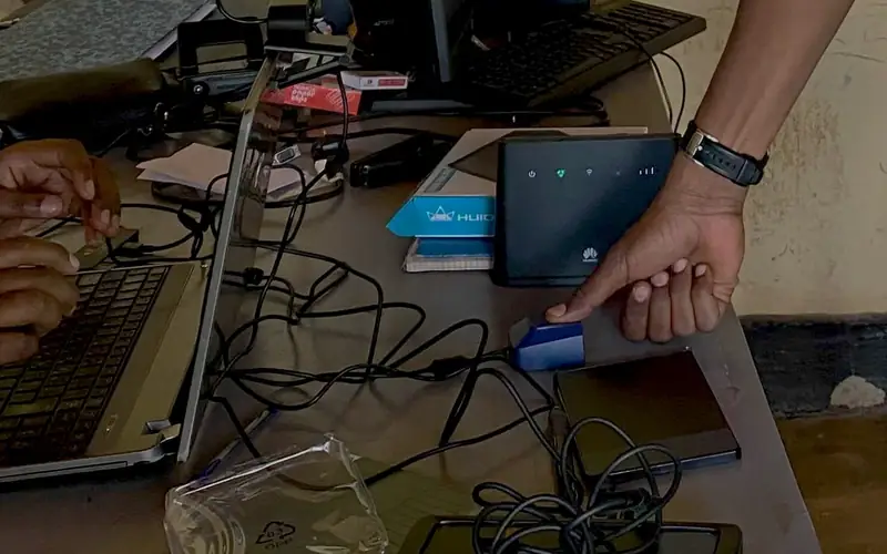
The workflow combines drone imagery, tablet-based field enumeration, and MLG’s land administration system to document claims and prepare records for formal registration.